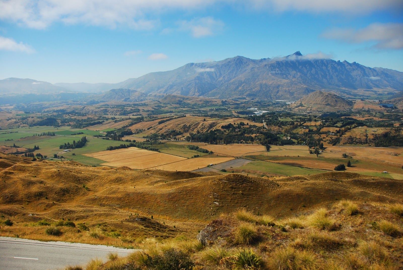
It is a strange feeling to be moving slowly, slowly, closer to home and to yet still be so far away from it both in terms of time and space. Still, Wellington was a very refreshing change from Queenstown - unpretentious, laid back and very good fun. I had only planned to stay here for a couple of days but ended up staying for five - although this may partly have been due to bus prices...
Most notably, the city is covered in Lord of the Rings references - from the airport arrivals hall to the enormous and excellent Te Papa National Museum.


Upon my arrival, I was confronted with hordes of very drunk 16-year olds occupying the hostel and the entire waterfront where it was situated. I had arrived on the day of the Homegrown festival, which appears to attract a younger crowd who are still very keen to get as drunk as they physically can: the number of people who begged me to buy them booze when I went for an exploratory wander was astounding. While I am normally happy to help in these situations, I had to decline due to the police presence anticipating exactly this problem.


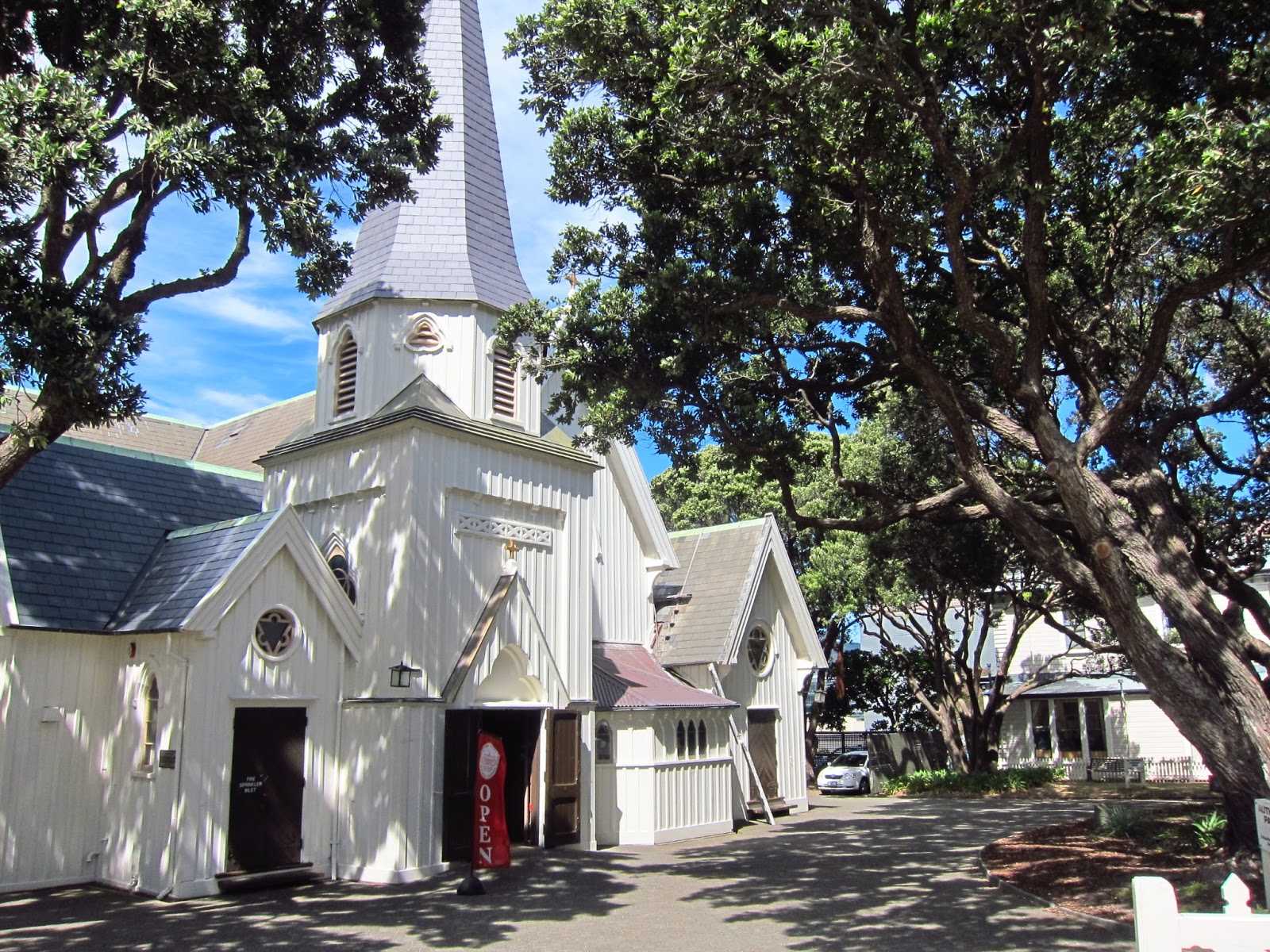
Still, the pedestrian malls lined with cafes and second-hand bookstores and other fun shops were a delight to wander along, and sometimes even sit down at (a rare pleasure when under severe budgetary constraints). An early highlight, though, came in the form of the Newtown Street Fair, an annual event I was lucky enough to come across.


This was a standard arts-and-crafts type fair occupying some 10 streets in the city centre, with the subtle difference that there were several stages scattered throughout the area playing not washed-out oldies but live reggae and, in one particular case (bottom right), some pretty raw dubstep and even tekno. Since this attracted a sizeable crowd - not necessarily a given at a "child-friendly" day out - I could not resist a little dance here. Great way to pass the afternoon!


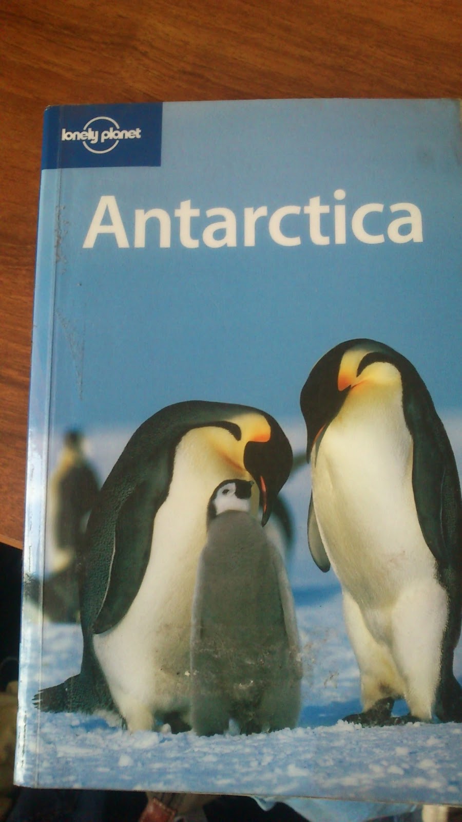
My best find, though, was this fantastic guidebook to a place that I had not expected to have a guidebook - and for just a dollar, too. Lonely Planet really do do it all...

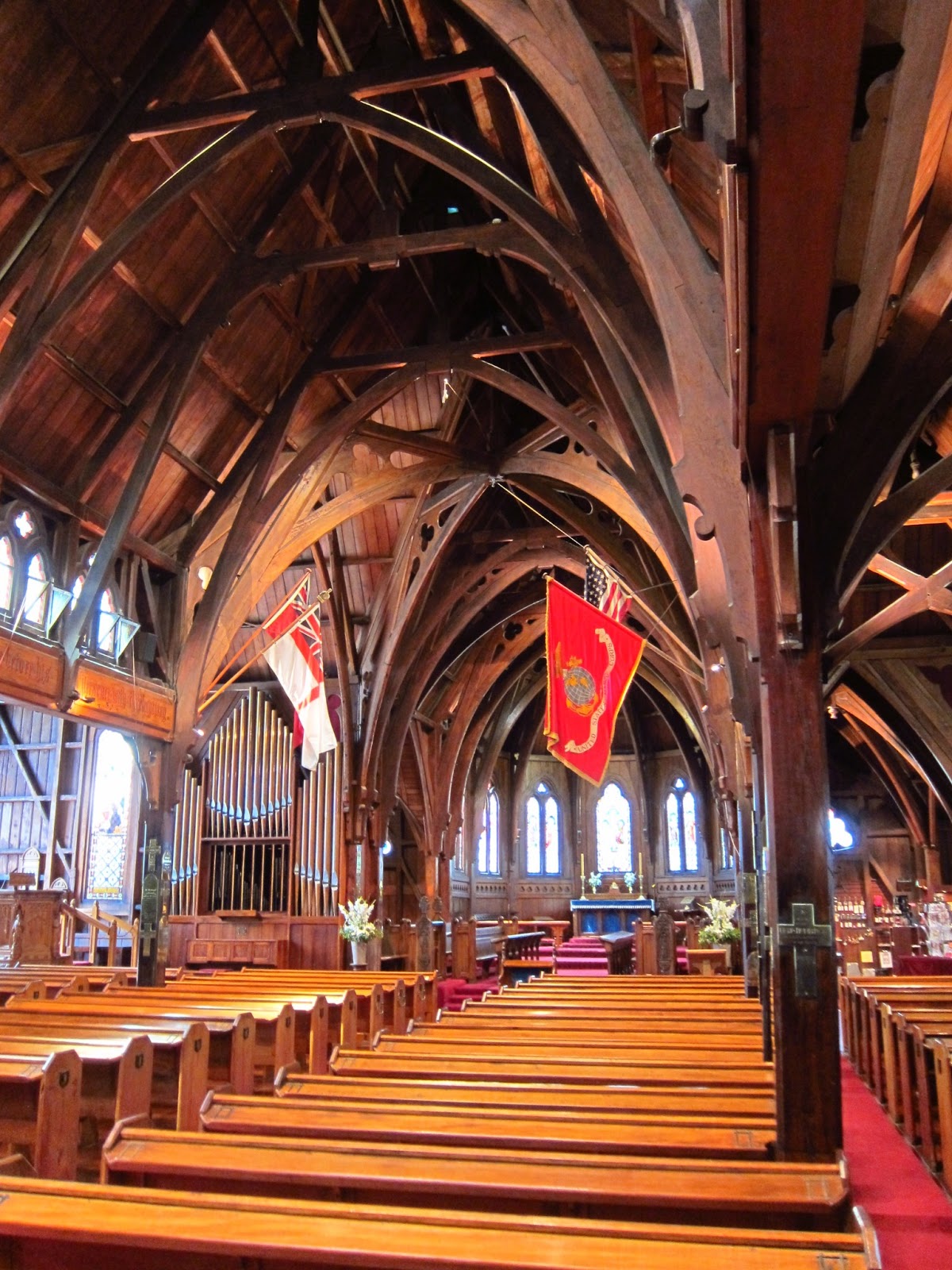
Apart from this, my time in Wellington was mostly spent wandering more or less aimlessly and discovering a few pretty spots and odds and ends. The lack of any particularly outstanding events makes it a bit tricky writing about these few days; it is mostly the genuine, pleasant atmosphere of the whole city that made it such a pleasure to linger here. I did, notably, miss out on a pod of killer whales swimming into the harbour and spending about an hour messing about at the harbour wall; a stall owner told me about it when I wandered past the next morning.


Once the time came to leave Wellington, however, I was excited to get stuck into my next bigger trek: the Tongariro Northern Circuit is a 4-day hike through Tongariro National Park, home to three of the last 100 years' most active volcanoes worldwide: Mts Tongariro (1500-odd m), Ngauruhoe (~2200m, better known as Mount Doom) and Ruapehu (~2800m).
While many Lord of the Rings locations, which are dotted around both islands, are almost indistinguishable from the surrounding landscape to the untrained eye now the sets have been removed, Ngauruhoe is immediately apparent as the fiery mountain it was in the movies. The first day's walk was a short affair through shrublands and up towards the saddle between two of the volcanoes:


Here, at Mangatepopo Hut, I was treated to a fantastic sunset that lit up a mountain on the horizon in an ominous orange glow really quite reminiscent of Mordor.


I also got a little carried away upon discovering an orange blob high up on the flank of this mountain after the sunset had set, thinking it might actually be a lava flow. This was, of course, wrong and the culprit was just a reflection, but maybe the photo below, showing the irregular shape of the reflection, will go some way towards explaining...

Either way, it was the next day that proved to be the toughest in terms of walking. The ascent of 700m from 1200 to just below 1900m doesn't sound impressive in terms of numbers, but add a 20kg pack, annoying gravel which meant that each step involved sliding back down at least half the distance covered, and shoes entirely unsuitable for said gravel explain why I did break a very considerable sweat. Still, the effort was well worth it: as I climbed the saddle between Ngauruhoe and Tongariro volcanoes, plants grew scarce and then disappeared completely, to be replaced by rocky outcrops, old pyroclastic and lava flows and plains of ash.

The high point of the track is reached at the Red Crater, at 1886m. The name is fairly self-explanatory, and also descriptive:


At long last, a descent - but as it turns out the only thing more infuriating than climbing up a fine, gravelly slope is descending one. Following several breaks to empty my shoes of ash and debris and a few near-misses, though, I made it down to the tranquil-seeming Emerald Lakes...


...to be greeted by an ominous warning:
An eruption took place here in August 2012 and destroyed part of a path branching off nearby; the possibility of further activity is very real.
Finally, after circumambulating the Emerald Lakes, the real, actual Mordor opens up ahead. As mentioned earlier, there is no need for a guidebook to tell you it's there; it looks exactly like it did in the movies, so much so that one almost wonders where all the Orcs have gone. The blue sky dotted with benign white clouds looks bizarrely out-of-place here.


Mordor took another couple of hours or so to cross, and I arrived at Otutere Hut a little overwhelmed by all the epic-ness I had just been bombarded with. The day wasn't quite finished with me yet, though - just near the hut I found a beauty of a waterfall tumbling down some 20 metres through and into lush greenery - straight out of the desolate plain I had just emerged from. Sunrise the next morning provided spot-on perfect lighting for it...


...and also for Mt Doom: the hut warden suggested I get up for 6.30am when the tip of the volcano is bathed in a red glow while the rest still lies in darkness. He was not wrong...

The last two days provided a more tranquil wander through what started out as an ash desert and slowly mutated back into more verdant tundra-like shrubland punctuated by forests and the odd stream...


...and finished at the Taranaki Falls just outside the sleepy village of Whakapapa.


Most notably, the city is covered in Lord of the Rings references - from the airport arrivals hall to the enormous and excellent Te Papa National Museum.


Upon my arrival, I was confronted with hordes of very drunk 16-year olds occupying the hostel and the entire waterfront where it was situated. I had arrived on the day of the Homegrown festival, which appears to attract a younger crowd who are still very keen to get as drunk as they physically can: the number of people who begged me to buy them booze when I went for an exploratory wander was astounding. While I am normally happy to help in these situations, I had to decline due to the police presence anticipating exactly this problem.


Still, the pedestrian malls lined with cafes and second-hand bookstores and other fun shops were a delight to wander along, and sometimes even sit down at (a rare pleasure when under severe budgetary constraints). An early highlight, though, came in the form of the Newtown Street Fair, an annual event I was lucky enough to come across.
 |
| Not sure if this guy was selling anything or showing off this mother of all oldschool bikes - either way, he'd be a great addition to the streets of Cambridge! |


This was a standard arts-and-crafts type fair occupying some 10 streets in the city centre, with the subtle difference that there were several stages scattered throughout the area playing not washed-out oldies but live reggae and, in one particular case (bottom right), some pretty raw dubstep and even tekno. Since this attracted a sizeable crowd - not necessarily a given at a "child-friendly" day out - I could not resist a little dance here. Great way to pass the afternoon!


My best find, though, was this fantastic guidebook to a place that I had not expected to have a guidebook - and for just a dollar, too. Lonely Planet really do do it all...
Apart from this, my time in Wellington was mostly spent wandering more or less aimlessly and discovering a few pretty spots and odds and ends. The lack of any particularly outstanding events makes it a bit tricky writing about these few days; it is mostly the genuine, pleasant atmosphere of the whole city that made it such a pleasure to linger here. I did, notably, miss out on a pod of killer whales swimming into the harbour and spending about an hour messing about at the harbour wall; a stall owner told me about it when I wandered past the next morning.
 |
| Can't be too safe... |


Once the time came to leave Wellington, however, I was excited to get stuck into my next bigger trek: the Tongariro Northern Circuit is a 4-day hike through Tongariro National Park, home to three of the last 100 years' most active volcanoes worldwide: Mts Tongariro (1500-odd m), Ngauruhoe (~2200m, better known as Mount Doom) and Ruapehu (~2800m).
While many Lord of the Rings locations, which are dotted around both islands, are almost indistinguishable from the surrounding landscape to the untrained eye now the sets have been removed, Ngauruhoe is immediately apparent as the fiery mountain it was in the movies. The first day's walk was a short affair through shrublands and up towards the saddle between two of the volcanoes:


 |
| My first campsite - Mt Ngauruhoe/Mt Doom in the background. |


I also got a little carried away upon discovering an orange blob high up on the flank of this mountain after the sunset had set, thinking it might actually be a lava flow. This was, of course, wrong and the culprit was just a reflection, but maybe the photo below, showing the irregular shape of the reflection, will go some way towards explaining...

Either way, it was the next day that proved to be the toughest in terms of walking. The ascent of 700m from 1200 to just below 1900m doesn't sound impressive in terms of numbers, but add a 20kg pack, annoying gravel which meant that each step involved sliding back down at least half the distance covered, and shoes entirely unsuitable for said gravel explain why I did break a very considerable sweat. Still, the effort was well worth it: as I climbed the saddle between Ngauruhoe and Tongariro volcanoes, plants grew scarce and then disappeared completely, to be replaced by rocky outcrops, old pyroclastic and lava flows and plains of ash.
 |
| New Zealand keeping it classy - an outhouse in Mordor... |

 |
| One of Ngauruhoe's flanks, braved by a few hardy climbers willing to take on the one-step-forward-two-steps-back nature of 700 vertical metres of gravel and ash... |
 |
| Fumaroles and their sulphurous fumes provide a heady scent of rotten eggs. |


 |
| An old magma conduit(?), exposed by an eruption at the Red Crater. |


...to be greeted by an ominous warning:
 |
| Naturally, I had to stop now and again...too much scenery to admire! |
Finally, after circumambulating the Emerald Lakes, the real, actual Mordor opens up ahead. As mentioned earlier, there is no need for a guidebook to tell you it's there; it looks exactly like it did in the movies, so much so that one almost wonders where all the Orcs have gone. The blue sky dotted with benign white clouds looks bizarrely out-of-place here.


Mordor took another couple of hours or so to cross, and I arrived at Otutere Hut a little overwhelmed by all the epic-ness I had just been bombarded with. The day wasn't quite finished with me yet, though - just near the hut I found a beauty of a waterfall tumbling down some 20 metres through and into lush greenery - straight out of the desolate plain I had just emerged from. Sunrise the next morning provided spot-on perfect lighting for it...


...and also for Mt Doom: the hut warden suggested I get up for 6.30am when the tip of the volcano is bathed in a red glow while the rest still lies in darkness. He was not wrong...

 |
| Mt Ruapehu also came out nicely... |


...and finished at the Taranaki Falls just outside the sleepy village of Whakapapa.


Phew! Bit of a marathon post, this - but hopefully the many photos make up for it...
The next one will probably be about the Cook Islands as my last days in New Zealand seem to be caught up with preparing for them as well as for Japan - I am only just starting to realise just how bewildering that country will be after all the anglophone countries I have been cruising through!